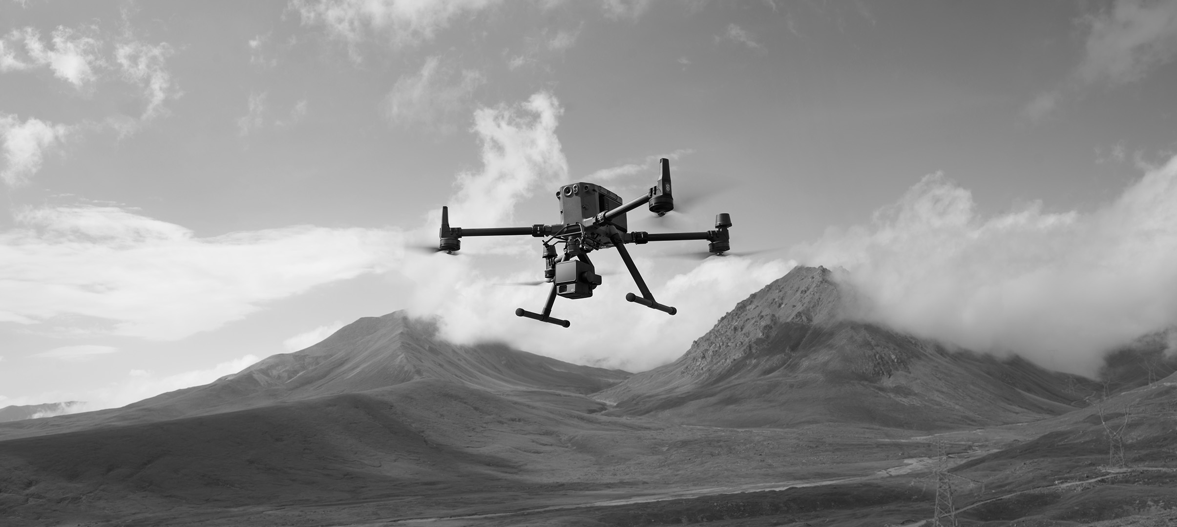
Drones equipped with advanced payloads reduce data collection time by up to 50% in remote areas, enhancing safety and accuracy. From aerial inspections to aerial surveys and mapping these tools provide actionable insights without costly manual data collections methods.
What Are Advanced Drone Payloads?
Advanced drone payloads, which include specialised attachments such as optical cameras, thermal sensors, light detection and ranging (LiDAR) units, and multispectral sensors, significantly enhance a drone’s capabilities. These payloads capture critical data during flight, which enable real-time insights. Modern payloads are designed to be modular, allowing operators to quickly swap sensors depending on specific mission specs. For example, a LiDAR payload can map terrain in hours, saving days compared to manual surveys.
How Payloads Improve Data Collection
Advanced payloads deliver precise data for diverse applications. For example:
- LiDAR sensors create 3D terrain models, reducing mapping time for construction or forestry.
- Multispectral sensors detect crop stress or material flaws invisible to standard cameras.
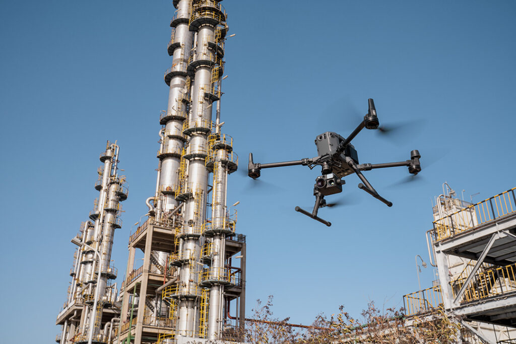
- Thermal sensors identify hotspots in solar farms, inspect flare stacks while active and more, cutting inspection costs.
These tools enable drones to adapt to tasks like solar farm inspections or topographic mapping within the same day, boosting efficiency.
Types of Advanced Drone Sensors
Common advanced payloads include:
- LiDAR systems that generate detailed 3D point clouds are ideal for terrain modelling, forestry canopy analysis, and infrastructure inspection.
- Multispectral and hyperspectral cameras capture specific electromagnetic bands, making them invaluable for agriculture, environmental monitoring, and resource management.
- Thermal sensors that detect heat signatures are essential for wildfire risk assessment or pipeline leak detection.
- High-resolution RGB cameras are used for aerial inspections, mapping, asset documentation, and marketing visuals.
- Gas detectors and environmental sensors monitor air quality, atmospheric conditions, and chemical plumes in remote or hazardous areas.

Payload Performance in Extreme Conditions
Payloads are built for harsh environments, capable of withstanding temperature extremes, moisture, vibration, and dust. We truly put these devices to the test in the harsh conditions found in the region to ensure that they can withstand scorching heats and intense dust.
Industry-Specific Payload Applications
We select payloads based on mission-critical requirements to ensure safety and maximum efficiency. For example:
- Energy and utilities companies use thermal and RBG payloads to inspect solar panels, power lines, and wind turbines. LiDAR sensors are also used to detect vegetation encroachment and line sagging.
- Agriculture relies on multispectral sensors to assess crop stress, irrigation effectiveness, and detect pests.
- Miners and geologists use LiDAR payloads for high-resolution mine maps to enable precise topography and volume calculations.
- Emergency response teams deploy rapid-response drones with thermal, RGB and low-light cameras for first response, search-and-rescue missions or damage assessment.
- Environmental conservation specialists use RBG, multispectral and air quality sensors to monitor wildlife habitats, forestry analysis, and air quality; ultimately helping to ensure compliance with regulations..
Benefits of Advanced Drone Payloads for Data Collection
Using advanced drone payloads provides several key benefits when collecting data. Some examples include:
- Efficiency: Drones cover more land faster than ground teams without sacrificing data quality.
- Safety: Minimising personnel exposure to hazardous or inaccessible sites.
- Reduced Costs: Traditional methods like helicopter and ground teams take longer and have increased manpower requirements.
- Scalability: Drones support a range of projects, from single-site inspections to expansive regional surveys.
Cost-Effectiveness for Commercial Use
Investing in advanced sensor technology can enhance operational efficiency and reduce costs for service-based industries. Drones equipped with thermal and LiDAR sensors, for example, can optimise field operations by reducing the reliance on large ground crews or expensive helicopter sorties, which ultimately leads to significant savings in labour and logistics costs.
Preventative, data-driven maintenance inspections allow companies to detect issues before they escalate into expensive repairs or emergencies. For service providers like FEDS, these advanced payloads create opportunities to offer data-as-a-service across multiple client verticals, optimising use and spreading operational costs efficiently.
Final Thoughts
Advanced drone payloads like LiDAR, multispectral cameras, thermal sensors and others are transforming data collection. They deliver precise, cost-effect results while improving safety across industries like energy, agriculture and more.
Whether delivering high-resolution mapping through aerial surveys and mapping or conducting precise aerial inspections, the choice of payload is critical to mission success.
Let’s Talk
Whether you’re looking to improve data collection, enhance operational safety, or streamline fieldwork, get in touch with the FEDS team to discuss tailored drone payload solutions that match your needs. We’re here to help you take your capabilities to the next level.
Mapping Underground Utility Networks: Drones + Ground Penetrating Radar
Combining drones with ground penetrating radar transforms utility mapping, making…
Read
Drones for Substation Inspection: Boosting Grid Reliability in Extreme Weather
Climate scientists agree that extreme weather events are becoming more…
ReadSubscribe to our newsletter
Get the latest drone news and updates sent straight to your inbox.
Subscribe