Urban planners face mounting pressure to create efficient, interconnected cities. Traditional methods for building and maintaining transport networks, public services, and digital infrastructure are often slow, costly, and risky. Drones offer a fast, flexible, and data-driven solution, transforming how cities approach urban connectivity
Building Smarter Urban Transport Networks
Transport systems, including roads, railways, bridges, and pedestrian pathways, are the backbone of urban connectivity. Drones are proving indispensable in improving how these systems are designed, monitored, and maintained.
By accessings hard-to-reach areas quickly and safely, drones are revolutionising the way cities assess and enhance their transport infrastructure. They provide live aerial perspectives that allow engineers and transport authorities to monitor traffic flow, identify congestion hotspots, and assess bottlenecks without disrupting daily movement.
Let’s face it: traffic planning has never been simple. But drone-captured video and imaging can help simulate new traffic routes or public transit extensions, enabling more thoughtful, data-driven decisions. This leads to faster, safer, and more inclusive transport planning, essential in cities where infrastructure struggles to keep pace with population growth.
Mapping the Urban Landscape: What Drones Reveal
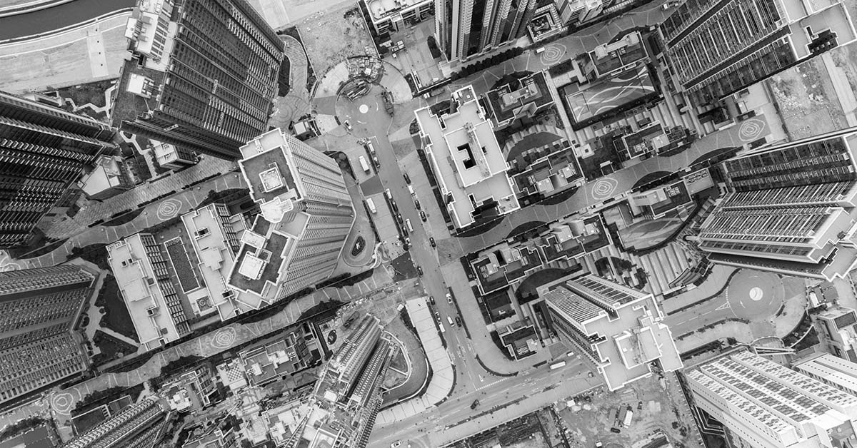
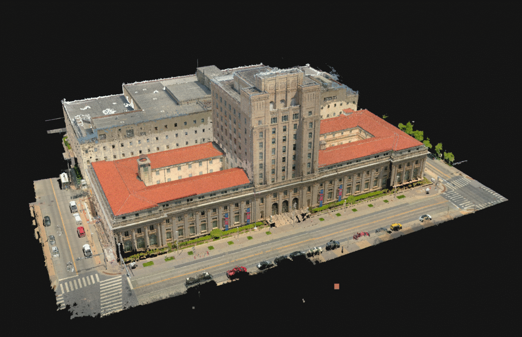
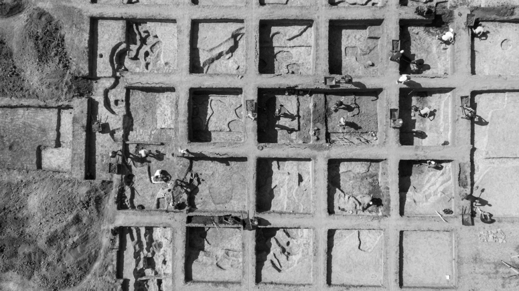
The real power of drones lies in the data they collect. City planners rely on high-resolution imagery, 3D terrain modelling, and geospatial data to make informed decisions. Drones deliver all three with speed and precision. Through aerial surveys and mapping, drones can scan vast cityscapes in hours rather than weeks.
The data they capture supports everything from zoning decisions to emergency response planning. For instance, topographical data allows for accurate flood risk assessments, while thermal imagery can be used to identify energy inefficiencies in buildings. Drone-collected data also enables better planning for utilities, green spaces, and road upgrades, all crucial elements in fostering urban connectivity.
In short, drones excel at collecting high-resolution imagery, 3D terrain models, and geospatial data, empowering planners with precise insights. Aerial surveys that once took weeks now take hours.
Inspections Without Disruption
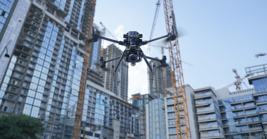
Inspecting ageing urban infrastructure, such as bridges, tunnels, and high-rise buildings, is often costly and hazardous.
Drones offer a safer, more efficient alternative. Increasingly, they are used to carry out aerial inspections of urban bridges, overpasses, tunnels, and high-rise buildings.
Equipped with advanced sensors, drones detect cracks, corrosion, or structural issues early, allowing preventative action. Drone inspections not only improve safety but dramatically reduce the need for road closures or manual access using scaffolding or rope teams. Bottom line: they offer a smarter way to keep cities moving.
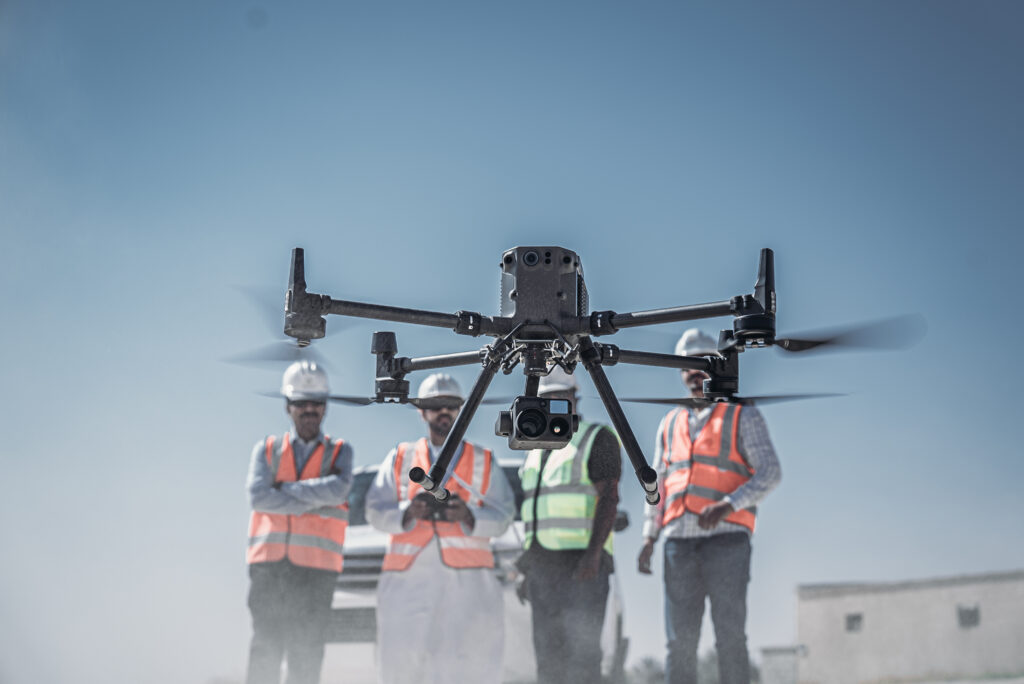
And it’s not just about quick fixes. Drones also play a role in long-term infrastructure development. During major construction projects, including roads, transit systems, and urban utilities, they offer real-time progress tracking and quality control. In the engineering and construction sector, drones help project managers spot delays, verify materials placement, and maintain compliance with urban regulations, boosting efficiency and accountability across the board.
Monitoring Urban Environments and Sustainability
Modern cities are not just physical spaces; they are also ecosystems where environmental quality plays a major role in quality of life. Drones are becoming valuable tools in monitoring air pollution, urban heat islands, and water quality, all essential data sets for sustainable city planning.
By collecting environmental readings and atmospheric data from various altitudes and locations, drones can track emissions trends and help cities enforce air quality standards. These insights also feed into the development of smart cities, where data-driven technologies support everything from automated traffic systems to adaptive street lighting.
Believe it or not, some forward-thinking cities are even integrating drones into public transportation systems, not as passenger carriers, but as scouts and service tools. They can monitor real-time transit performance, inspect rail lines, and even deliver parts or maintenance materials to otherwise inaccessible areas.
Creating Smarter Urban Spaces
Ultimately, the goal of using drones in urban connectivity is to make cities more liveable, more efficient, and more resilient. Drones support the creation of smart spaces that respond to the needs of their inhabitants, combining digital infrastructure with physical development in innovative ways.
From planning pedestrian walkways that respond to foot traffic patterns to laying out new telecommunications corridors that support 5G connectivity, drones are becoming indispensable tools in building smarter, more interconnected urban environments. The speed, accuracy, and safety they bring to the table are redefining what’s possible in city planning.
A Future-Ready Solution for Connected Cities
Drones, combined with AI, address modern urban challenges with efficiency and adaptability. They cut inspection costs, enhance safety, and enable proactive decision-making.At FEDS, we’ve seen this in action. Using drones for urban connectivity is reshaping the infrastructure landscape in ways we couldn’t have imagined a decade ago. Talk to our team to explore how drone technology can support continuing efforts to build better, more connected cities.
Mapping Underground Utility Networks: Drones + Ground Penetrating Radar
Combining drones with ground penetrating radar transforms utility mapping, making…
Read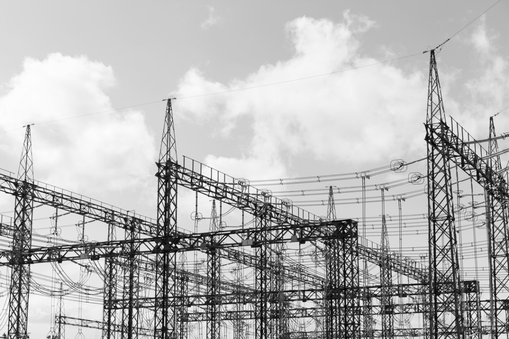
Drones for Substation Inspection: Boosting Grid Reliability in Extreme Weather
Climate scientists agree that extreme weather events are becoming more…
ReadSubscribe to our newsletter
Get the latest drone news and updates sent straight to your inbox.
Subscribe