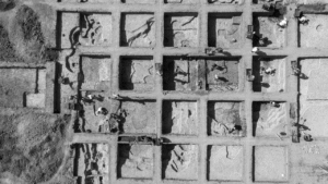
Mapping Underground Utility Networks: Drones + Ground Penetrating Radar
Combining drones with ground penetrating radar transforms utility mapping, making it faster, safer, and more cost-effective while delivering highly accurate…
Combining drones with ground penetrating radar transforms utility mapping, making it faster, safer, and more cost-effective while delivering highly accurate…
Climate scientists agree that extreme weather events are becoming more frequent. As a result, utility providers will continue to face…
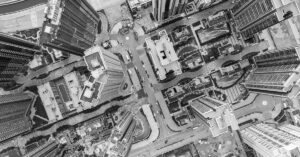
Urban planners face mounting pressure to create efficient, interconnected cities. Traditional methods for building and maintaining transport networks, public services,…
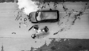
Real-time aerial data can play a critical role in public safety operations. Emergency response drones provide live, actionable insights that…
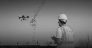
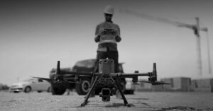
Rework in construction wastes time, money, and reputation. Misalignments, poor planning, or unnoticed errors can delay projects and inflate budgets.…
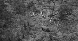
Drones are transforming wildlife conservation by offering a non-invasive, high-precision tool for tracking endangered species, mapping habitats, and combatting poaching.…
Drones equipped with advanced payloads reduce data collection time by up to 50% in remote areas, enhancing safety and accuracy.…

The global FPV drone market is projected to grow at a rate of 16.7% from 2024 to 2030, and it’s…
The UAE construction market reached a value of $94 billion in 2023, with predictions of a steady average annual growth…

FPV (First-Person View) drones are changing how aerial media is captured, offering unparalleled agility, precision, and creative potential. Unlike traditional…