
LAST UPDATED
April 21, 2025
READING TIME
10
Min

Cities are evolving into interconnected ecosystems, and drone surveillance integration is a key part of this transformation. By providing real-time data and enhancing operational efficiency, these aerial systems are reshaping urban management, enabling the creation of more resilient and sustainable environments.
The concept of interconnected urban ecosystems highlights the interdependence of city functions. Transport, energy, waste, and emergency services form a single, responsive unit. Drones contribute to this by enabling real-time monitoring. This data allows city authorities to address issues systemically, rather than in isolation, leading to greater efficiency and resilience. Cities are getting more connected, smart and growing at a rapid rate.
To illustrate the scale of urban expansion, one study found that from 1992 to 2016, the global urban land area increased by 346,400 km², from 274,700 km² to 621,100 km². These trends go on to indicate that an additional 1.2 million km² of new urban land could appear by 2030.
With rapid urban expansion, the demand for efficient solutions has never been higher. Traditional urban management strategies struggle to keep pace with the growth of modern cities, making smart drone technology a vital tool for sustainability and efficiency.

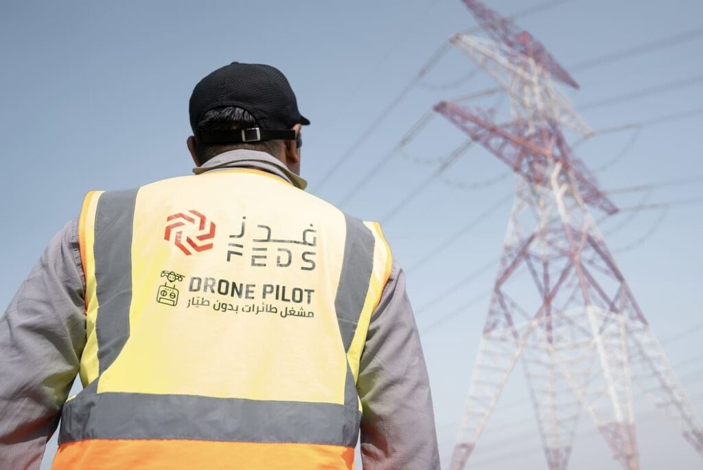
Urban infrastructure, which includes everything from roads to bridges, power lines, and buildings, requires constant monitoring and maintenance. Drones offer a cost-effective and precise solution for conducting inspections and gathering data. They can access hard-to-reach areas, identify potential hazards and provide detailed reports so you can proactively maintain issues and prevent full failure.
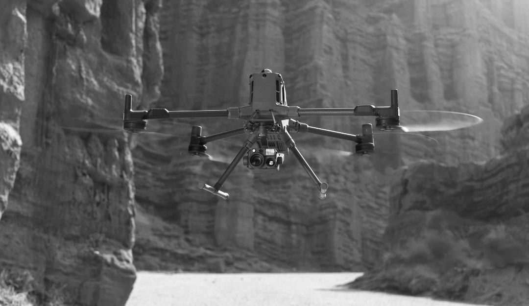
A primary usage is in aerial inspections. Traditional inspection methods often involve manual labour, scaffolding and traffic disruptions. Drones, equipped with high-resolution cameras, thermal sensors and LiDAR systems can conduct remote inspections with exceptional accuracy.
These AI-powered drones can detect structural deterioration long before it becomes a critical issue, saving cities billions in maintenance costs. For example, AI-driven drones have been successfully deployed to monitor aging bridges in Europe, preventing costly collapses and improving long-term infrastructure stability.
They can detect structural defects, corrosion and other anomalies and provide detailed visual and thermal data for analysis. This allows for quick interventions, extending the lifespan of infrastructure and ensuring public safety.
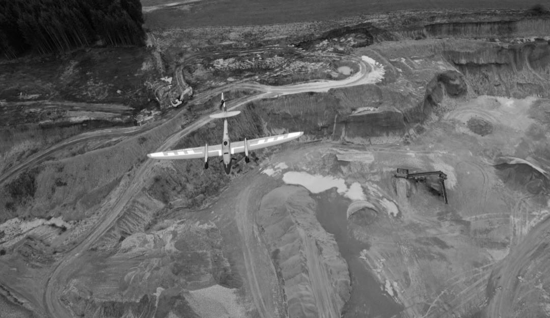
Drones can also provide aerial surveys and mapping. Rapid data capture enables the creation of highly accurate 3D models, orthomosaic maps and digital terrain models. This data is valuable for urban planning, infrastructure development and even disaster response.
Instead of relying on outdated maps or time-consuming manual surveys, urban planners can now update city layouts in real-time, adapting to changes instantly. This is particularly useful for managing post-disaster rebuilding efforts efficiently.
The ability to generate detailed maps quickly after natural disasters, for example, allows emergency responders to assess damage, plan interventions and allocate resources. This rapid data gathering is also highly beneficial for projects in engineering & construction where site analysis and progress monitoring are key. Additionally, drones equipped with multispectral sensors are now being used to monitor the environmental impact of infrastructure projects, ensuring developments are sustainable and comply with green building regulations.Drones allow for the quick generation of stockpile volume calculations and also allow for progress monitoring.

The use of drones in smart cities demonstrates how useful they are beyond infrastructure management, as they contribute significantly to urban sustainability and efficiency.
Drones can play a role in environmental monitoring. They can track air quality by measuring particulate matter and gas emissions, identify pollution hotspots and monitor the health of urban green spaces. This data informs policy decisions aimed at mitigating environmental impact and improving public health. With the growing concern over climate change, real-time monitoring of urban heat islands and pollution levels is crucial. Drone data can help local governments make informed decisions on emissions control, green space expansion, and transportation policies. Drones can also be used to monitor water quality, detect illegal dumping and assess the impact of urban development on natural ecosystems.
By flying over major waterways, drones can detect oil spills, chemical leaks, and other hazardous waste contamination in minutes, allowing for a much faster response to environmental threats. Drones can also optimise logistics and delivery services. PwC found that the value of goods delivered to consumers by drones worldwide will grow by 74% on an annual basis, from $251 million in 2024 to $65,177 million in 2034.
Drones enable quick delivery of essential supplies, such as medical equipment, pharmaceuticals and emergency rations, reducing traffic congestion and emissions. In urban centres, drones are already reducing last-mile delivery times by 30%, helping logistics companies operate more efficiently while lowering their carbon footprint.This is particularly important in densely populated urban areas where traditional logistics face challenges. Drone deliveries also offer a solution for reaching remote or inaccessible locations, improving access to essential services.
Drones can also enhance public safety and security. They provide real-time situational awareness for emergency services, support search and rescue operations and enable effective crowd management at large events.
For example, drones were deployed at the 2022 FIFA World Cup in Qatar to monitor crowds, ensuring better security coordination and reducing response times for potential incidents.
Drones equipped with thermal imaging cameras can assist in locating missing persons, detecting fires and monitoring suspicious activities which improves response times.
Drones offer cities unprecedented capabilities in real-time monitoring, resource allocation, and emergency response. By providing aerial views and live data feeds, drones help authorities track traffic congestion, monitor environmental hazards, and respond to incidents with speed and precision. This improves safety, operational efficiency, and service delivery across urban systems. In addition, drone surveillance integration improves crime prevention and disaster preparedness by enhancing visibility in hard-to-reach or high-risk areas.
Smart drone technology enables urban planners to gather high-resolution spatial data, update maps dynamically, and monitor land use changes. This reduces reliance on outdated surveys and speeds up planning cycles. From zoning analysis to site feasibility assessments, drones provide a cost-effective, scalable solution for modern urban planning. Cities can now forecast infrastructure needs more accurately, identify potential bottlenecks, and build sustainably with the support of drone-generated insights.

While drone technology offers numerous benefits, responsible deployment requires addressing regulatory and ethical considerations. Privacy, data security and airspace management cannot be ignored.
Public concerns around data privacy must be addressed with robust security measures, such as encrypted data transmission and anonymised tracking. Without these safeguards, the widespread adoption of drones in smart cities could face resistance.
Regulatory frameworks must be established to ensure safe and compliant operations, including guidelines for data collection, storage and sharing. Public engagement and transparency are also essential. Educating citizens about the benefits and limitations of drone technology helps to build trust and acceptance. Community workshops and drone awareness programmes have been successfully used in cities like Dubai, Singapore and London to ease public concerns and foster support for urban drone integration. Collaboration between government agencies, industry stakeholders and the public is essential for developing implementation strategies that ensure responsible usage.
The change in urban living is strongly connected to technological development. Drones are integral to building resilient, sustainable and efficient cities. As technology matures and regulatory frameworks adapt, the role of drones’ urban operations will continue to expand.
To fully leverage the potential of drone technology in your urban development initiatives, partnering with experienced professionals is crucial. FEDS Drone Powered Solutions offers high-level drone services, including UAV inspections, mapping, data analysis and consultancy. Our team provides personalised solutions to integrate drone technology into your systems and processes. We don’t just provide drone data—we offer actionable insights, helping you make informed decisions that improve efficiency, reduce costs, and drive sustainability across urban environments. We can provide the technical knowledge and practical application needed to make your drone projects a success.
Contact us today to explore how we can support your smart city initiatives through advanced drone technologies.


.webp)