
LAST UPDATED
February 23, 2024
READING TIME
10
Min

Topography is the study of the land around us, and topographic surveys are a vital part of many business operations, detailing essential facts about the land and terrain in any given area. Traditional topographic surveys require significant time and manpower, the use of multiple vehicles and many hours of work and so the development of drone topography and the use of drones in surveying land has the potential to improve efficiency and accuracy considerably.
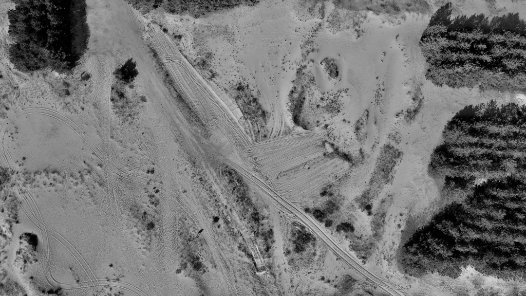
Drone land surveying allows organisations to effectively collect topographical data. Drones can be used to collect topographic surveys over much larger areas than traditional surveys. Drones can also collect digital photographs and create 3D maps of the land. Organisations can utilise the tried-and-tested methods of photogrammetry with the added efficiency of drone technology to create digital terrain models.
Let’s explore the key benefits of drone topography.
An aerial survey drone can quickly and efficiently get an accurate aerial view of any area of land. Drones equipped with the right technologies, such as LIDAR sensors, can also fully map and analyse the land to create an accurate topographic survey much more quickly than traditional methods.
Drone surveying in civil engineering can help in road and route planning, as well as surveying construction sites and land for more accurate and effective planning on projects.
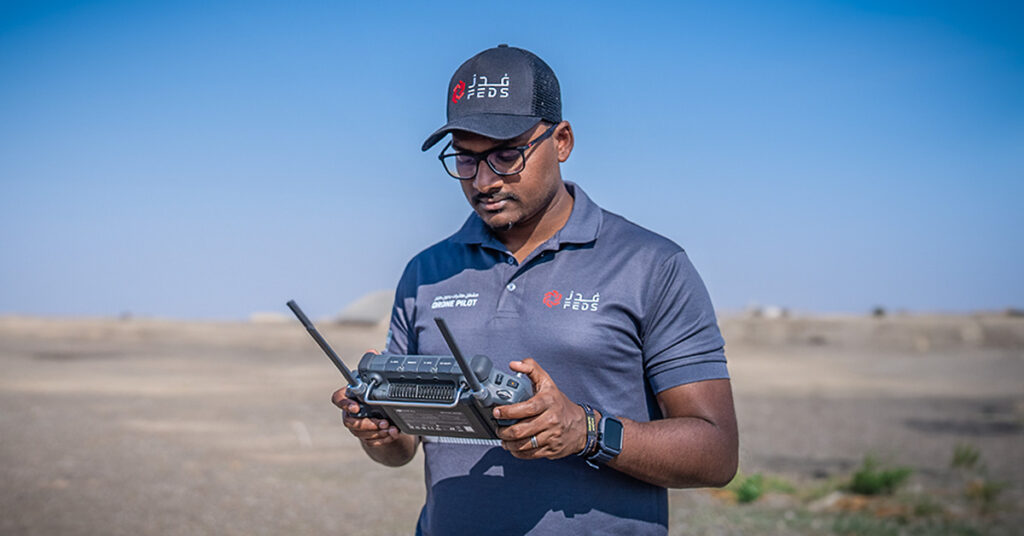
By allowing drones to carry out the bulk of your topographic surveying, you minimise any risk to team members who previously had to manually collect data in dangerous environments. Drone topography makes the overall process significantly safer as field professionals can focus on the analysis and processing side of the job as drones supply the data.
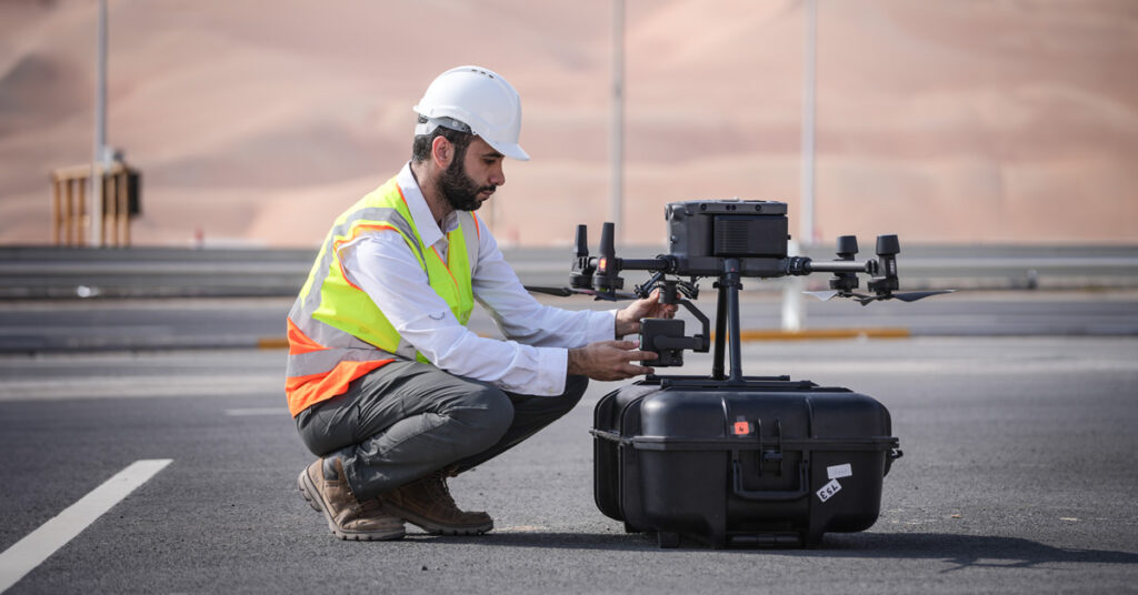
Drones are becoming more advanced year-on-year and equipping drones with a range of technologies allows them to carry out multiple tasks simultaneously. As mentioned, drones can be equipped with sensors, cameras, and other useful data capture technologies to ensure the best quality of topographic surveys.
Many industries can benefit from topographical surveys and therefore integrate drone technology into this. From urban planning to agriculture, the potential uses of drones for land surveying are vast.
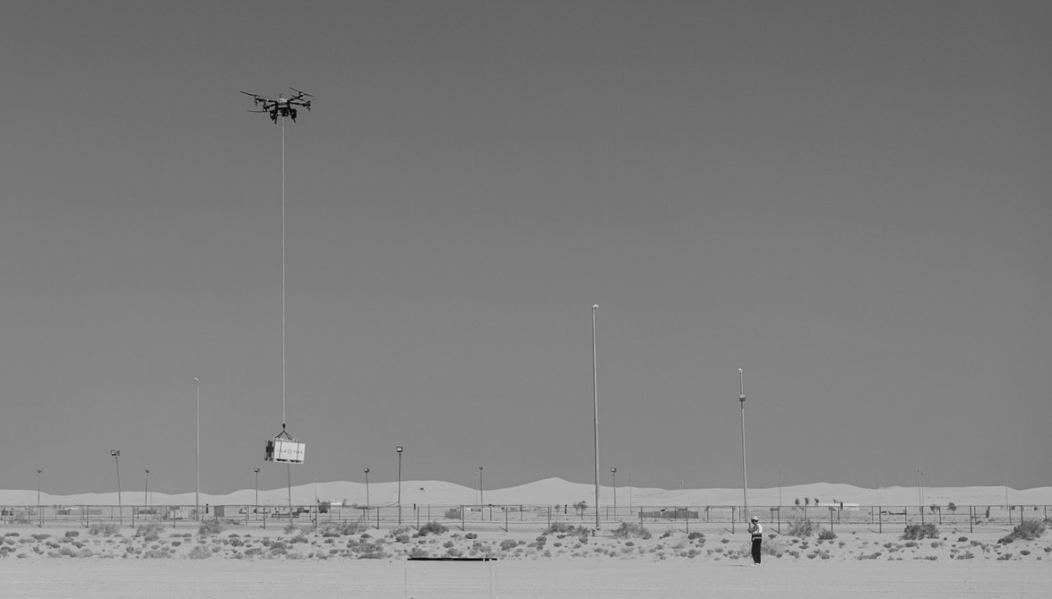
Drones equipped with 3D mapping software can provide comprehensive volumetric measurements, allowing you to calculate inventory stock in mines and quarries or other storage spaces for monitoring purposes.
Automated Drones can take accurate measurements hard to gauge manually such as slopes, essential if you need to know the steepness of an area’s surface and also monitor any change in the slope for disaster management such as preventing landslides or similar.
Furthermore, the increasing density and overpopulation of our cities means exacting urban planning surveys are essential for maximising the space available. Drones allow urban planners to collect huge amounts of data quickly and efficiently, giving them the information they need to make accurate decisions about future building projects.
The potential for drone topography is huge and applicable to many different industries. As a Dubai survey company specialising in drone technologies FEDS can help you get the most out of drones for the benefit of your business.


.svg)
.webp)