
LAST UPDATED
June 27, 2025
READING TIME
10
Min
Drones are transforming wildlife conservation by offering a non-invasive, high-precision tool for tracking endangered species, mapping habitats, and combatting poaching. At FEDS, we’ve seen how these technologies enhance data collection and reduce risks to wildlife. Our Aerial Filming & FPV services are perfect for gathering footage that showcases these advances in wildlife conservation.
Traditional wildlife monitoring methods, such as ground patrols, satellite imagery or manned aircraft, have their limitations. Satellite data may lack the resolution needed for species-level tracking, while ground surveys can be time-consuming and intrusive. Manned aircraft are expensive and logistically challenging, especially in remote or politically sensitive regions.
Using drones in wildlife conservation provides a practical solution. Drones fly quietly, access hard-to-reach areas, and gather real-time aerial footage and high-resolution data sets, allowing conservationists to collect vital information more frequently, affordably, and with minimal disruption to the environment and wildlife.
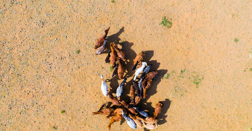
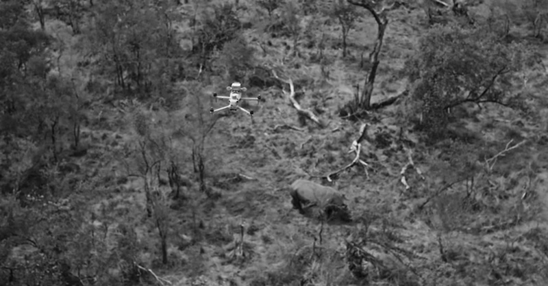
Drones equipped with visual and thermal cameras are making wildlife population tracking more precise. Researchers can count animals, observe movement patterns, and monitor breeding and feeding behaviour without disturbing the animals or putting human safety at risk.
For example, drones are already used to track species like the Arabian oryx in the deserts of the Middle East. Elsewhere, similar technology is also helping to monitor elephants, seals, and orangutans, providing more accurate data than traditional methods.
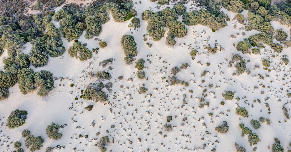
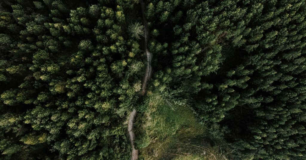
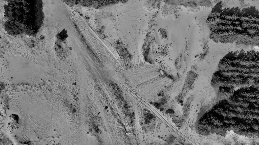
Drones also play a key role in habitat mapping and assessing ecosystem health. With Aerial Surveys & Mapping, multispectral sensors can detect variations in vegetation, soil moisture, and land use, helping scientists understand the effects of climate change and human activity on ecosystems.
For example, drones recently covered 590 square kilometres of forest in Abu Dhabi, gathering data on tree vitality and habitat integrity, tasks that would have been impossible with traditional methods within the timescales.
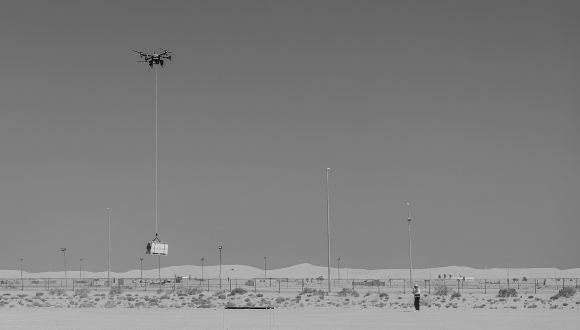
Drones are assisting reforestation efforts by mapping degraded land and planting seeds in hard-to-reach areas. Through Aerial Surveying & Mapping, FEDS collaborates with partners to explore efficient seed dispersal, lowering labour costs. We can also disperse seeds directly using drones.
This approach enables precise planting strategies tailored to each environment, accelerating restoration efforts and increasing reforestation success rates.
Equipped with infrared cameras, drones can operate at night to detect illegal activities such as poaching or unauthorised encroachment. This gives rangers a vital advantage: they can respond quickly, with improved situational awareness, all while reducing risks involved in high-stakes operations.
In combination with AI-based image recognition, drones can even identify specific vehicles or individuals from the air, transforming enforcement efforts in tough terrain. Drones are also effective for conducting Aerial Inspections of difficult-to-reach areas, providing critical oversight of vast landscapes without disrupting wildlife or the environment.
Drones are changing wildlife conservation, providing precise data, improving safety, and reducing environmental impact. Whether for habitat mapping, tracking endangered species, or fighting poaching[PM3] , drones enable conservationists to work smarter and more efficiently.
Contact FEDS today to learn more about how our drone solutions can support your conservation efforts.


.svg)
.webp)