Early last month senseFly came out with two new products to add to their eBee line, the eBee Geo and eBee Ag. The two new focused products are the culmination of 10 years of innovation from senseFly and are designed with the express purpose to excel in their fields, specifically eBee Geo for GIS and eBee Ag for Agriculture. What is even cooler is the bag they come with; this shoulder bag contains the entire drone with wings, battery, charger, modem – all the works; it even has space to spare for a laptop!

The eBee Geo is an extremely affordable fixed-wing mapping drone that comes out of the box with everything you need to start surveying. The Geo is advanced, lightweight and remarkably durable- delivering results uncompromisingly. Priced around the 10,000 USD mark, the eBee Geo makes drone surveying and mapping a whole lot more accessible.
The eBee Ag, the agriculture extension of the eBee enables you to get a full assessment of your farm and crops faster than ever before. The eBee Ag provides a viable mapping solution that does not break the bank. The user-friendly and cost-effective eBee Ag will help farmers, agronomists with aerial data that gives insight into their fields, driving better and faster agronomic decision making.

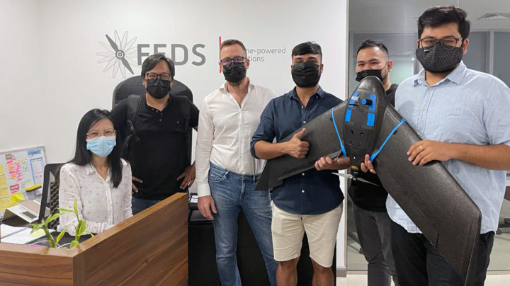
And finally, the bag, pictured here with our Head of Operations Nikin MJ. Receiving the first-ever model of this in the middle east was exciting enough, but upon opening the box, we were pleasantly surprised. What awaited was the drone neatly packed way in this bag. Fully contained with everything you need, you could walk off into the field as is and start your project.
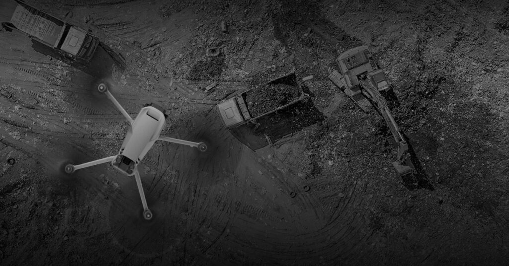
Eco-Friendly Drones: Sustainable Solutions for Urban Waste Management
As urbanisation accelerates worldwide and cities come under intensifying pressure…
Read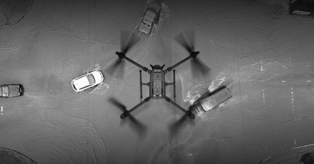
Harnessing the Power of AI-Driven Drones for Advanced Flood Risk Assessment
We are teaming up with Dendra Systems, a leader in…
ReadSubscribe to our newsletter
Get the latest drone news and updates sent straight to your inbox.
Subscribe