
LAST UPDATED
April 29, 2025
READING TIME
10
Min
Floods are becoming more frequent, severe, and unpredictable, putting over 1.8 billion people at risk worldwide. Traditional risk assessments can’t keep up. AI-powered drones now offer faster, safer, and smarter ways to monitor and manage flood risk, unlocking precision and speed that were unthinkable a decade ago.
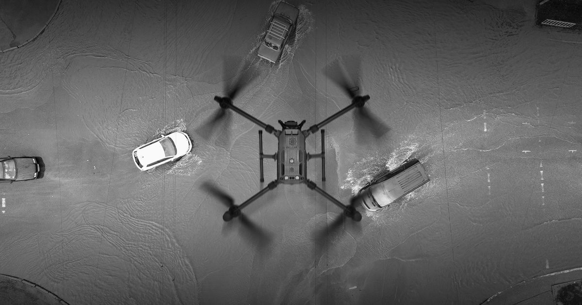
AI-powered drones now offer a scalable, intelligent way to assess and respond to flood risks, unlocking capabilities that weren’t possible a decade ago. They are helping governments, emergency services, and environmental agencies assess and react to floods in a faster, safer and more precise manner - and they’re making a serious impact.
Traditional flood assessments rely on ground surveys, manual inspections, and satellite imagery – each with significant limitations. Without the risk of invalidating this type of assessment as it still serves a purpose, it’s also crucial to note that it can present the following challenges:
These constraints hinder emergency planning and long-term resilience, challenges that AI-driven drones are designed to overcome.
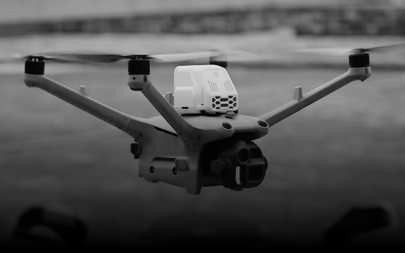
1. High-Resolution Aerial Mapping
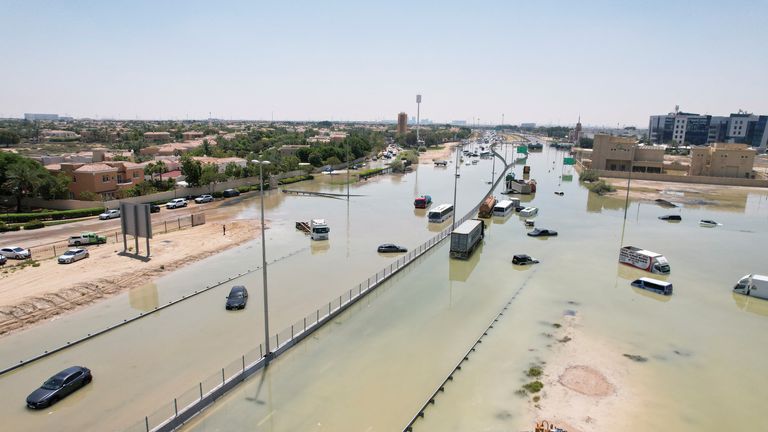
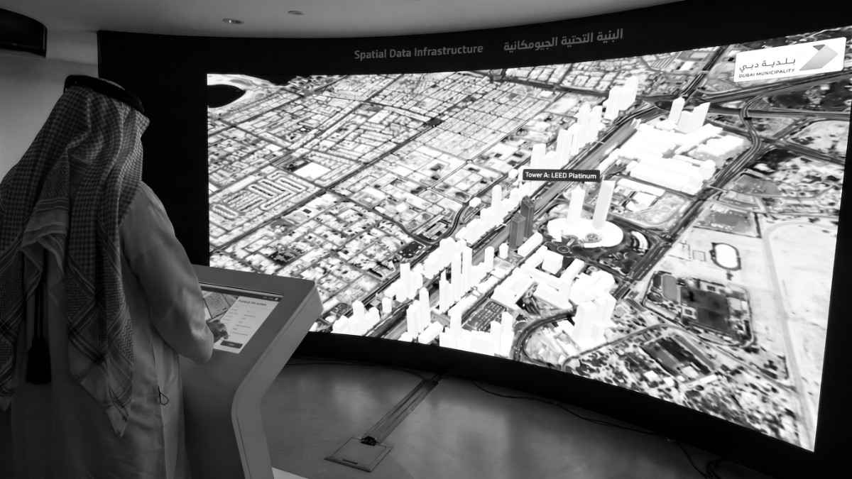
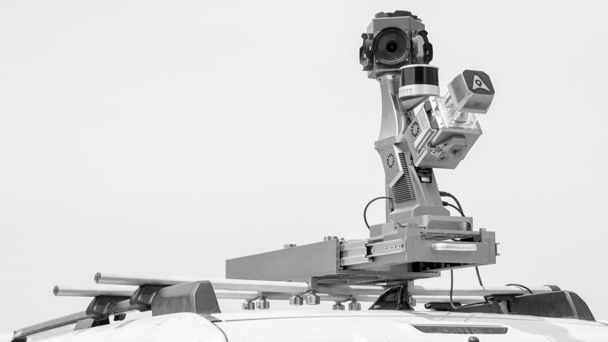
FEDS uses advanced drone technology equipped with multispectral, LiDAR, and hyperspectral sensors for accurate floodplain mapping and 3D terrain modelling. This technology aids in understanding water flow, identifying low-lying areas, and assessing flood risks. A recent case study in Al Ain, UAE, demonstrated the effectiveness of this approach: FEDS successfully mapped 65 km² of flood-affected areas in just two days using senseFly eBeeX fixed-wing drones. This rapid response enabled timely, informed decision-making and effective relief operations. Read the full case study here.
2. Real-Monitoring Water Levels
With drones, you are able to monitor real-time changes in river levels, drainage systems and flood barriers by sending them out quickly during heavy rainfalls or storms. AI processes incoming data in real time to detect anomalies, predict overflow risks, and trigger automated alerts. It also predicts overflow scenarios far faster than satellite or ground-based systems.
3. Historical Data Integration & Predictive Modelling
Integrating real-time drone data with historical flood records and weather forecasts enables highly accurate predictive modelling. These scenarios, for example, are able to inform where to place flood barriers or retention basins; identify zones for evacuation planning; and flag weak infrastructure very well in advance. Identifying potential infrastructure issues earlier with enhanced observation through drone technology promotes safety and efficiency - a part that is very crucial and possible with Drone Construction Monitoring.
4. Smart Hydrological Monitoring
By sending out drones repeatedly, agencies are able to track changes in water bodies, monitor sedimentation in rivers and also measure soil moisture over a period of time. These variables play quite a crucial role when it comes to forecasting floods. With AI integration, drones move beyond observation to interpret patterns, learn from irregularities, and issue proactive alerts. With this kind of proactive response, authorities can issue early warnings; manage dams and reservoirs more effectively; and be able to make real-time decisions during storm events.
5. Environmental Impact Analysis
Unfortunately, floods don’t only affect people but they also have an impact on ecosystems. Given such, using drone technology can assist agencies with assessing soil moisture, erosion and vegetation health before and after floods. High-resolution environmental mapping supports strategic decisions in reforestation, erosion control, and water resource planning. Elevating Environmental Conservation with Drone Innovation can become critical, especially in areas prone to repeated flooding.
Speed is critical during disaster response. Understanding this, AI-driven drones can be deployed immediately to survey affected areas, find people who might be stranded, assess damage done to infrastructure, and guide first responders with real-time visuals. This improves the speed and accuracy with which rescue operations are carried out. Additionally, it makes certain that resources are allocated where they’re needed the most.
Post-flood, AI-powered drones support rapid recovery by:
As drone technology advances, any previous limitations are being rapidly addressed, unlocking new possibilities for smarter, faster flood risk assessments.
Built to withstand the storm
New-generation drones are now equipped with IP55 and IP56 weather resistance, enabling them to operate even in adverse conditions like heavy rain or strong winds. Advanced stabilisation and onboard sensors ensure reliable data capture during the very weather events that make flood monitoring so critical.
Longer range, longer missions
Today’s fixed-wing drones and hybrid vertical take-off and landing (VTOL) systems offer extended flight times and large-area coverage capabilities. Combined with beyond visual line of sight (BVLOS) technology and automated mission planning, these systems can map vast floodplains and remote areas with greater efficiency than ever before.
Smarter regulation, faster deployment
Drone providers are working closely with aviation authorities to enable rapid, safe deployment during emergencies. Fast-tracked permits, no-fly zone protocols, and integrated air traffic management systems are helping drones become a trusted part of national disaster response infrastructure.
The chances of flood risk are reportedly only going to increase. This is according to UNDP whose research has stated that by 2050, over 70 million people living in coastal cities could be affected by rising flood levels, and by 2100, the land currently occupied by 5% of the population could be permanently underwater. Climate change is pushing us towards smarter solutions that are quickly becoming an essential part of the future.
AI-powered drones have started to reshape how we prepare for, respond to, and recover from floods. They guarantee flood risk assessment with speed, precision, and intelligence; translating to protecting life, reducing economic loss, and supporting environmental resilience.
Drones help bridge the gap between prediction and prevention of floods - forming part of a holistic flood strategy. They are not just flying machines but they are also flying data centres, decision-makers and first responders.
The future of flood risk assessment is here, and it is airborne. Talk to our team to explore how drone-led flood risk solutions can support your mission-critical operations.


.webp)