
LAST UPDATED
July 15, 2025
READING TIME
10
Min
Real-time aerial data can play a critical role in public safety operations. Emergency response drones provide live, actionable insights that support faster decision-making, improve coordination, and strengthen situational awareness in dynamic environments.
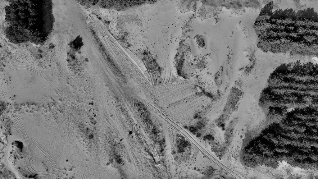
In emergencies, the faster first responders get to the right information, the faster they can act to protect lives. Drones equipped with live feeds are having a significant impact on the way first responders coordinate during crises. By providing real-time aerial footage, drones improve situational awareness, response times, and safety for emergency teams. In this blog, we explore how drone live feeds for first responders are changing the landscape of public safety operations, providing teams with the tools they need to act faster and smarter.
Drones offer real-time data that enhances the decision-making process during emergencies. Traditional methods, like waiting for ground reports or using helicopters, can be slower and more expensive. Drones with high-resolution cameras provide instant, detailed aerial footage, allowing incident commanders to make informed decisions from a safe distance.
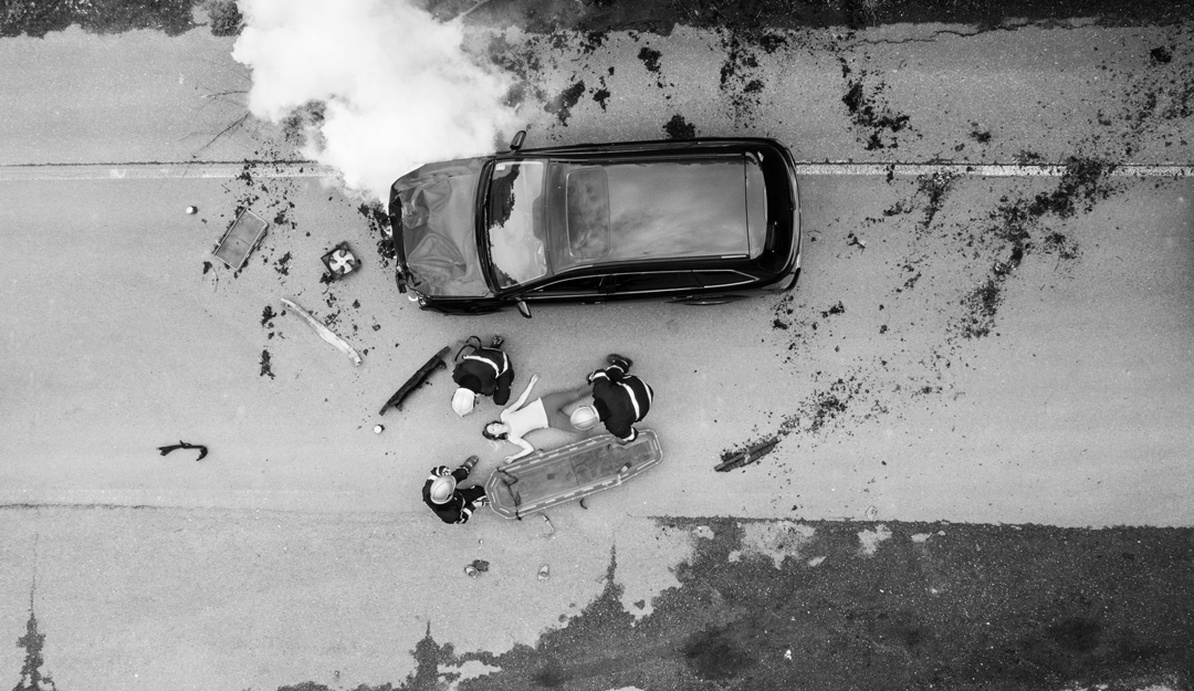
Example: During a building fire, a drone can fly over the scene, capturing live footage and thermal images to help responders track the fire's spread and locate trapped victims. This improves the response speed and ensures the safety of the rescue teams.
One of the most important advantages of drones is their ability to speed up response times. Traditional methods, like waiting for on-site reports or deploying helicopters, take valuable time. Drones change this by offering immediate aerial insights with data that can be accessed instantly, provided they are operated by trained personnel with appropriate airspace permissions.
Example: If a traffic accident occurs, drones can be deployed while ground teams are en route. The drone provides immediate data on the number of vehicles involved, hazards, and the best route to take. By the time first responders arrive, they already have crucial information, enabling a faster, more efficient response.
Drones greatly enhance the safety of first responders. In high-risk situations like fires or hazardous materials spills, responders face significant danger when entering affected areas. Thermal cameras, zoom lenses, and gas sensors allow drones to assess heat signatures, structural damage, and chemical presence, keeping responders out of harm’s way. In addition, drones offer a safe aerial view that allows commanders to assess dangerous zones without putting personnel at risk.
Example: Drones can fly over disaster sites to assess structural integrity or identify hazardous areas.By mapping out danger zones in real-time, drones allow responders to avoid high-risk areas and plan safer rescue operations.
Integrating drones into existing first responder operations doesn’t require a major overhaul. Drones complement traditional methods by adding an additional layer of intelligence and efficiency.
Example: Drones can seamlessly integrate with command centres, where live feeds are displayed on incident management platforms, enabling decision-makers to access critical information quickly. This integration boosts overall coordination, allowing teams to deploy resources and respond more efficiently. Additionally, Aerial Surveys & Mapping allow for real-time data to be captured, further enhancing the speed and accuracy of emergency responses.
Drones also offer significant cost savings and environmental benefits compared to traditional methods. Helicopters, for example, are expensive to operate, and they consume large amounts of fuel. Drones, on the other hand, are affordable, require minimal maintenance, and use far less fuel, making them a greener alternative for many operations. An analysis of fuel-efficient UAVs compares the cost per flight hour of conventional aircraft and drones, indicating that UAVs can offer significant savings of up to 80% due to lower operational expenses, including fuel consumption.
Example: By reducing fuel consumption and operational costs, drones help emergency services meet their sustainability goals while still providing high-quality data.
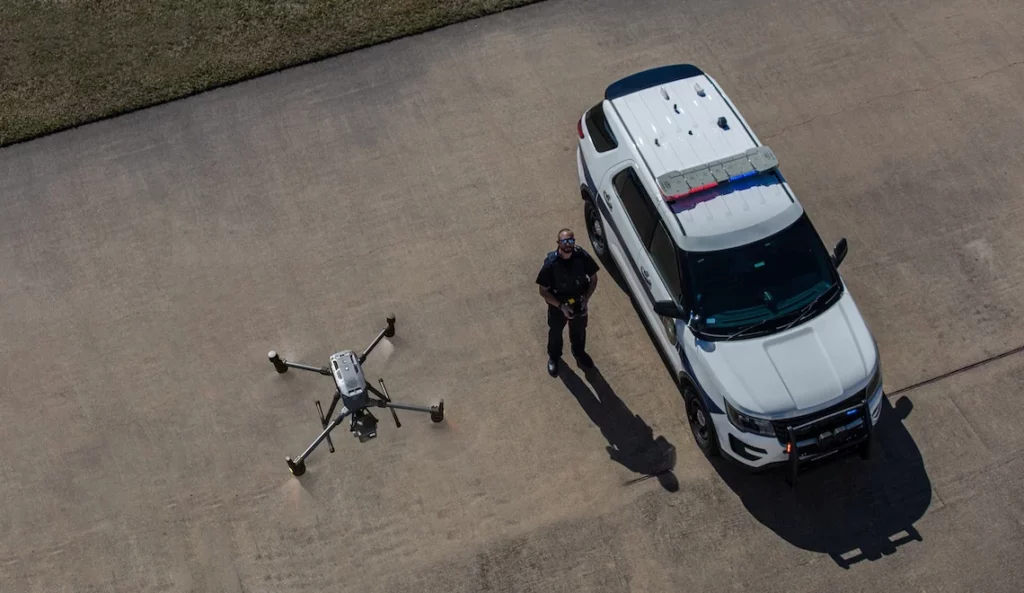
FEDS knows the importance of real-time data in public safety operations. Our drones are designed to provide live feeds that enhance situational awareness and improve response times. We work closely with emergency response teams to integrate our drone technology into their operations, helping them respond faster, more safely and more effectively.
Drone live feeds are transforming public safety operations by providing real-time data that enhances situational awareness, speeds up response times, and improves safety for first responders. Drones reduce operational costs, improve efficiency, and offer a more sustainable solution compared to traditional methods.
Get in touch to explore how our drone solutions can help your team respond faster, more safely and more efficiently during emergencies.


.svg)
.webp)