Survey Smarter. Process
Faster. Scale Bigger.

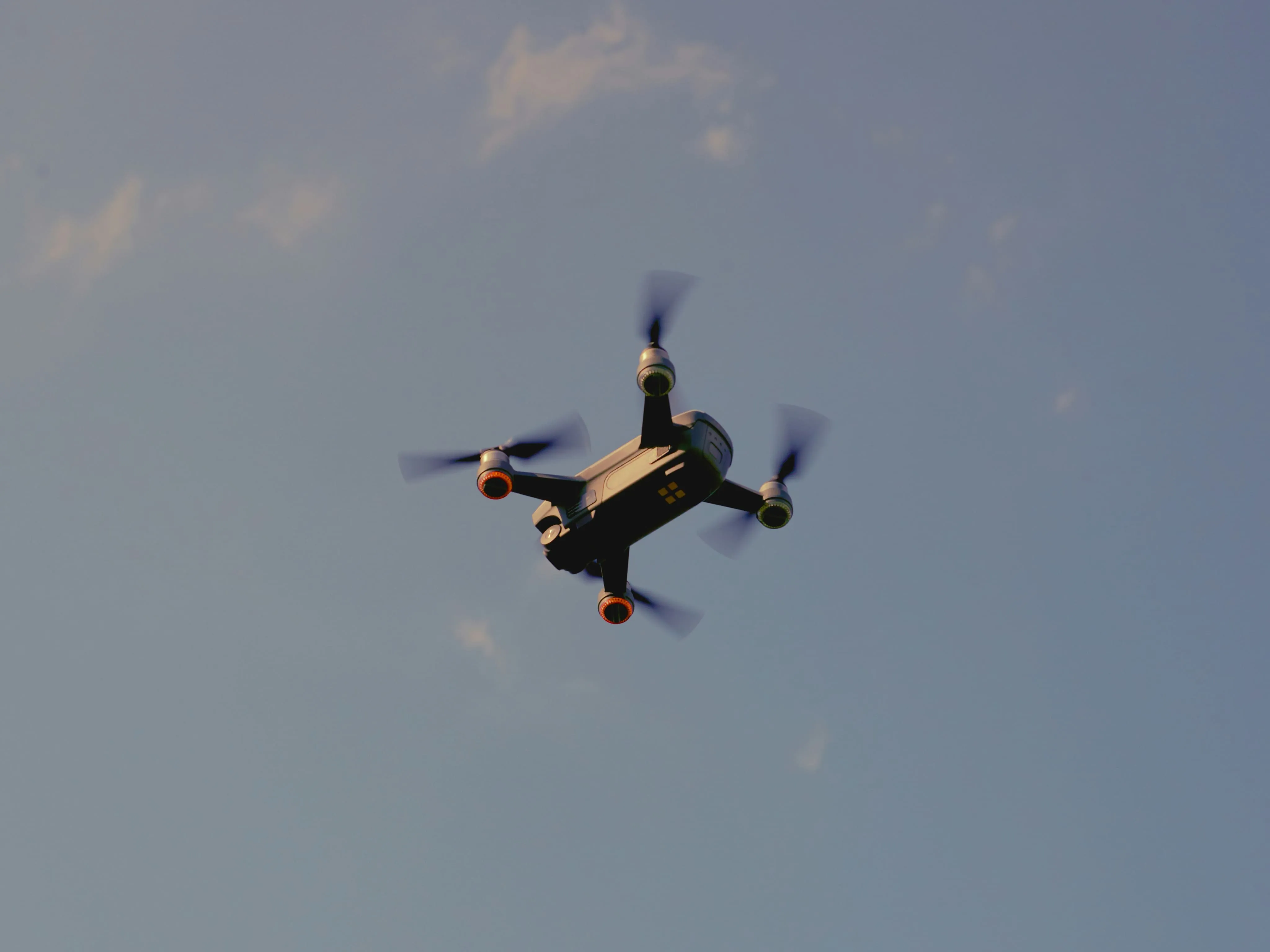
Get GIS-ready data from deserts, roads, or farmland in days; using drones, LiDAR, high resolution RGB cameras and AI detection instead of boots on the ground. UAV Survey ensures faster, more accurate results with minimal disruption.

Man in safety vest and helmet crouched next to a large drone on a paved surface.

Why Traditional Survey Methods Can’t Keep Up

Ground surveys take months to cover large areas

Red background with a subtle grid pattern of rounded squares and small dots at intersections.

Turnaround times delay planning and decision-making

Black grid pattern with squares and central dots on a dark background.

Terrain data is fragmented across multiple teams and systems

Red background with a subtle grid pattern of rounded squares and small dots at intersections.

Satellite imagery lacks the resolution for detailed analysis

Black grid pattern with squares and central dots on a dark background.

Manual classification is slow, inconsistent, and error-prone

Red background with a subtle grid pattern of rounded squares and small dots at intersections.

Physical site access increases safety risks and manpower needs

Black grid pattern with squares and central dots on a dark background.

Onsite rework adds to time and cost overruns

Red background with a subtle grid pattern of rounded squares and small dots at intersections.

Environmental data becomes outdated before analysis is complete

Black grid pattern with squares and central dots on a dark background.
Faster Data Collection Across Any Terrain

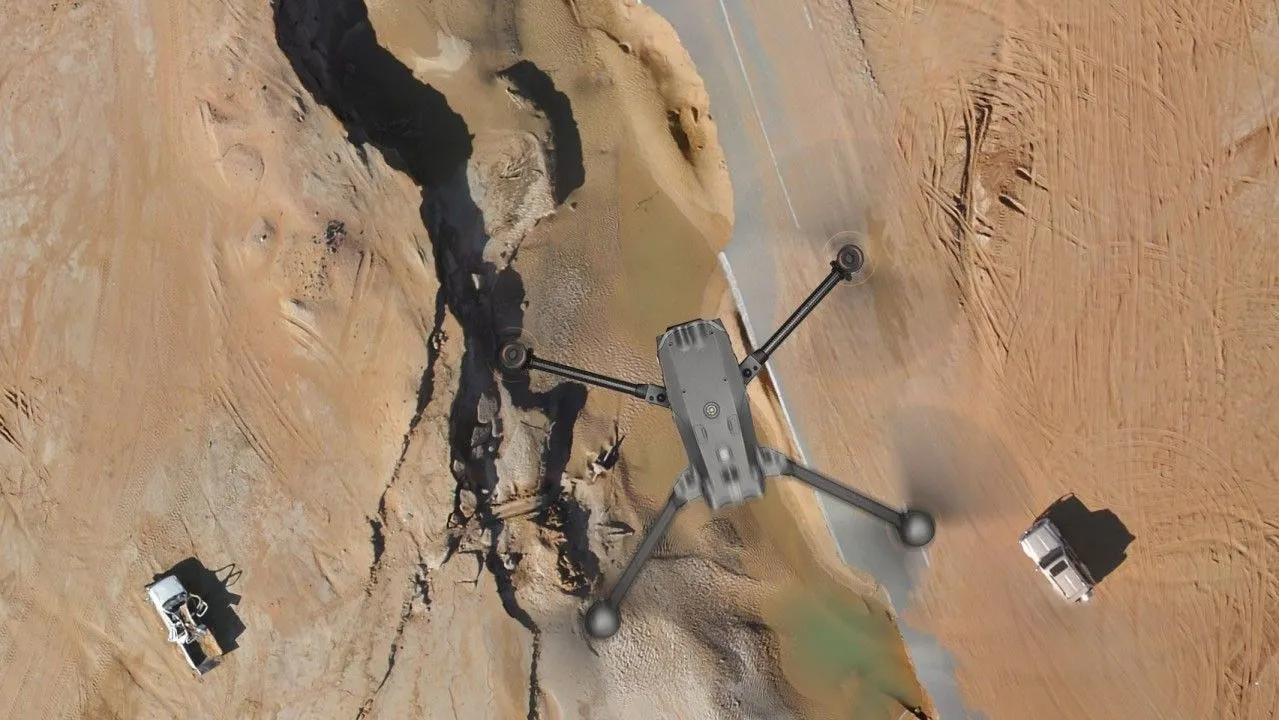
FEDS deploys UAV drone land surveying fleets equipped with LiDAR, RGB, GPR, and water sampling payloads to collect survey data in a fraction of the time. From deserts to construction zones monitoring, we cover vast areas safely and efficiently, without disrupting operations.

A drone flying over a sandy, rocky terrain with two white vehicles visible on the ground.
Aerial view of a dense forest area with numerous trees marked by yellow dots, showing a dirt road curving through the forest on the left and a straight dirt road on the right.
AI Classification of Trees, Wells, Water, and More

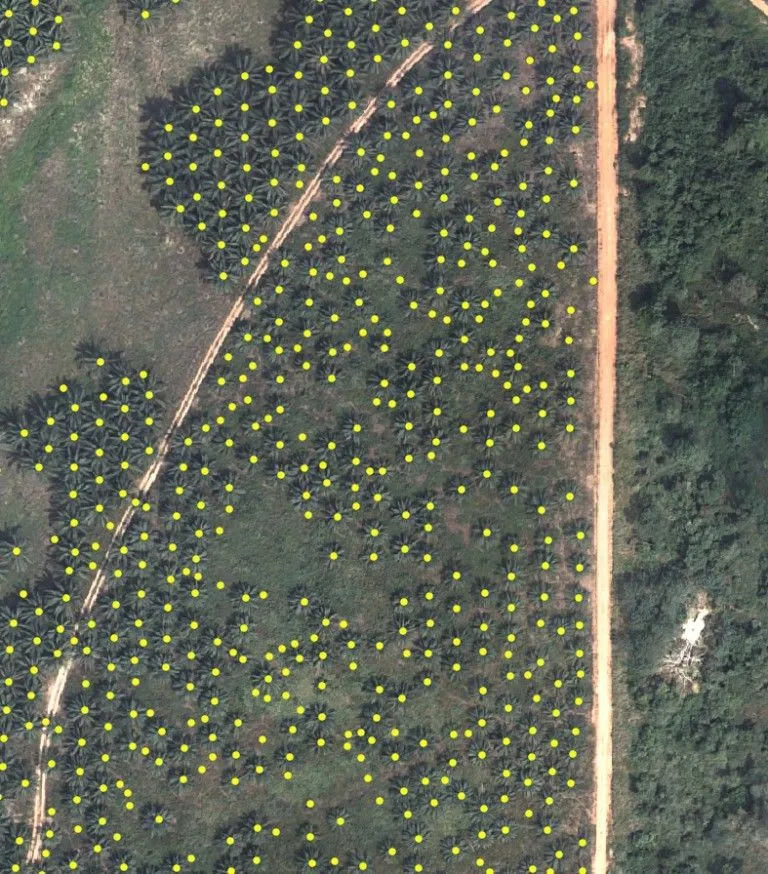
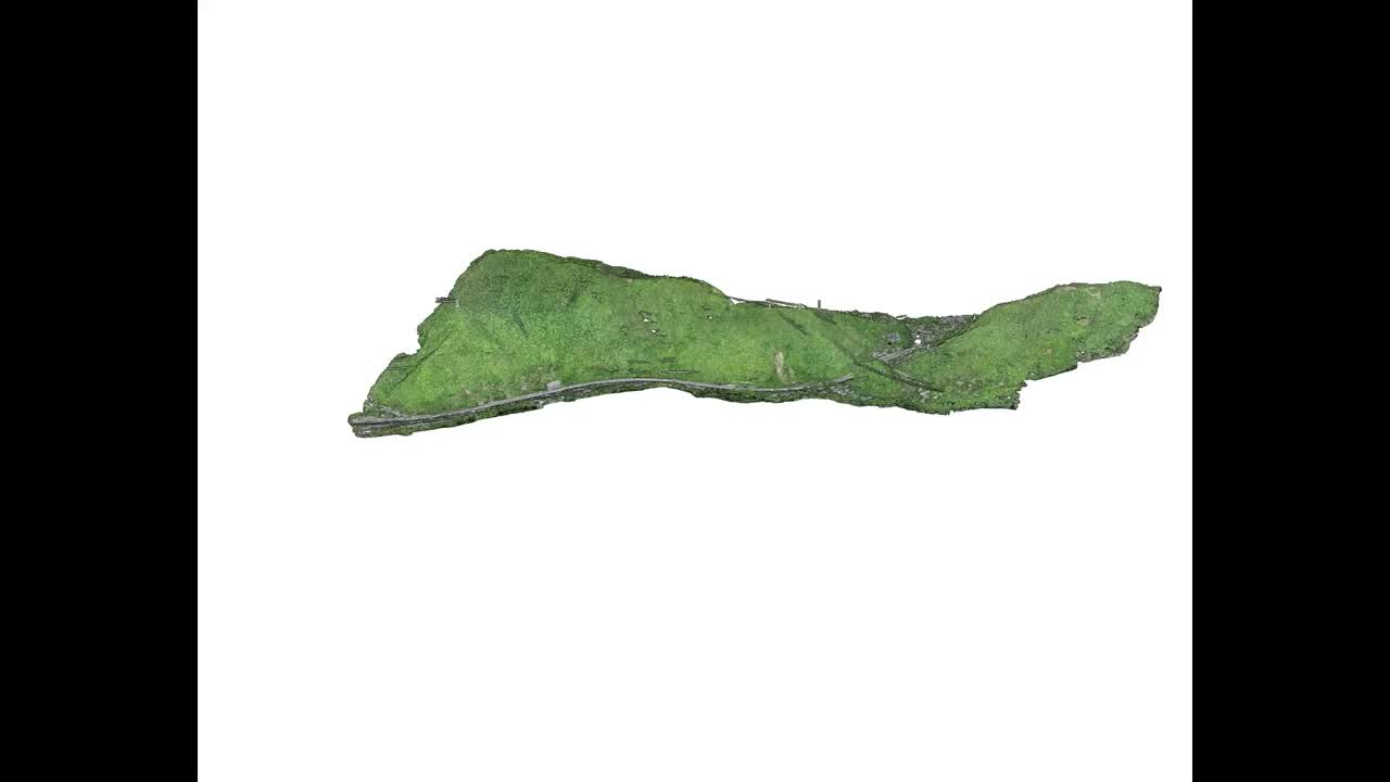
Our AI models automatically detect and classify key terrain features, from individual tree types and water bodies to wells and livestock clusters. This speeds up land analysis, reduces manual effort, and ensures reliable, repeatable results at scale.

End-to-End Workflow. No Outsourcing.

We plan, fly, process, and deliver, all under one roof. With no subcontractors involved, FEDS controls the entire operation to meet tight timelines and guarantee validated, GIS-ready outputs every time.

Person wearing an orange safety jacket and white hard hat, with 'FEDS Drone-powered Solutions' logo on the back against a clear blue sky.

Technical Capabilities

01

Drone Platforms and Payloads

Black drone flying near a curved desert highway with sand dunes in the background.

Fleet of commercial drones equipped with LiDAR, RGB, GPR, and water sampling payloads. Solutions tailored to terrain type, scope of work, and client requirements.

02

Data Accuracy
and Coverage

Surveyor wearing a hard hat and safety vest using surveying equipment on a paved road near a yellow and white pedestrian crossing in a desert area.

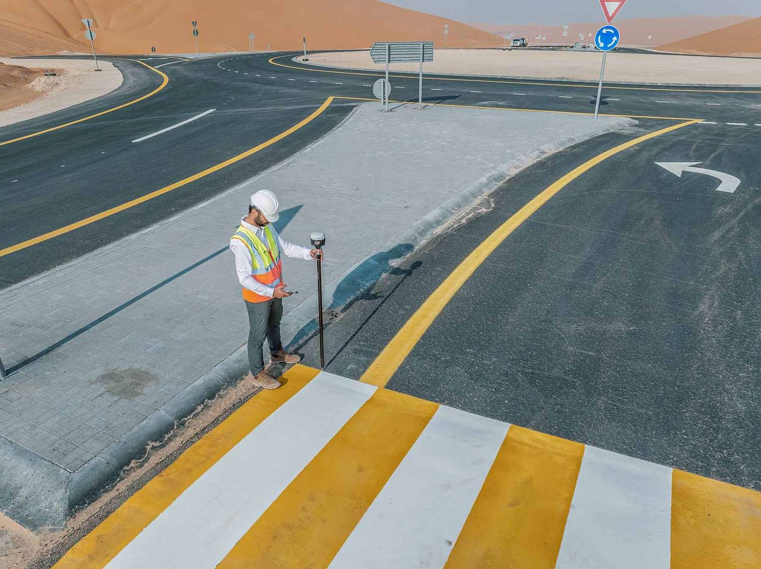
Proven ability to map 1,100+ km² with repeatable flight paths and centimeter-level accuracy.
Supports topographic surveys, volumetric assessments, and baseline environmental data.

03

Processing
and Analysis

Quadcopter drone flying against a blue sky with blurred rotating propellers.

In-house AI and GIS workflows used to classify features, clean datasets, and generate deliverables.
Outputs include orthomosaics, point clouds, digital elevation models, and classified maps.

04

Security
and Compliance

Drone flying over desert terrain near a white vehicle with Dubai Civil Aviation Authority logos under a cloudy sky, with text stating compliance with international and local standards.

Aligned with UAE aviation and municipal regulations, FEDS is an ISO 21384-3:2023, ISO 9001, ISO 14001, ISO 45001 and ISO 27001 certified entity.

When Months of Work Took Just 64 Days

CLIENT

Ministry of Climate Change & Environment (MOCCAE) – UAE

THE CHALLENGE

Traditional methods made it impossible to map 1,100 km² of farmland within a usable timeframe. By the time data was collected, it would already be outdated.

FEDS SOLUTIONS

We deployed UAV land surveying drones to map the entire region in 64 days and used AI models to classify features such as livestock, tree clusters, and water bodies.
64* working days

Herd of camels standing and grazing in a vast sandy desert under clear blue sky.
Results
Full-area coverage in just 64 days — versus 12+ months using ground teams
Reliable, up-to-date data enabled national-level sustainable agriculture planning
Validated outputs helped quantify resources across an entire ecological zone
Analysis of Plant Compounds showing structure and analytical data on a dark background.