Capture entire sites. No helicopters needed.

Showcase locations, structures, and stories from the sky with 4K drone filming and photography, skilled FPV pilots, and permit-ready operations.

Man wearing sunglasses and a cap crouching on a city street while holding a large drone near an open equipment case with skyscrapers and palm trees in the background.

Why Traditional Filming Falls Short

Ground-level shoots miss key angles and spatial context

Red background with a subtle grid pattern of rounded squares and small dots at intersections.

Capturing large sites requires multiple, disjointed setups

Black grid pattern with squares and central dots on a dark background.

Helicopters are expensive and require advance scheduling

Red background with a subtle grid pattern of rounded squares and small dots at intersections.

Wildlife areas can't be filmed without disturbing the habitat

Black grid pattern with squares and central dots on a dark background.

Site teams struggle to visualize entire locations clearly

Red background with a subtle grid pattern of rounded squares and small dots at intersections.

Cranes and camera rigs increase cost and complexity

Black grid pattern with squares and central dots on a dark background.

Traditional set-ups require more time per shot

Red background with a subtle grid pattern of rounded squares and small dots at intersections.

Hard to capture dynamic content with minimal investment

Black grid pattern with squares and central dots on a dark background.
Stunning Aerials, Minus the Overhead

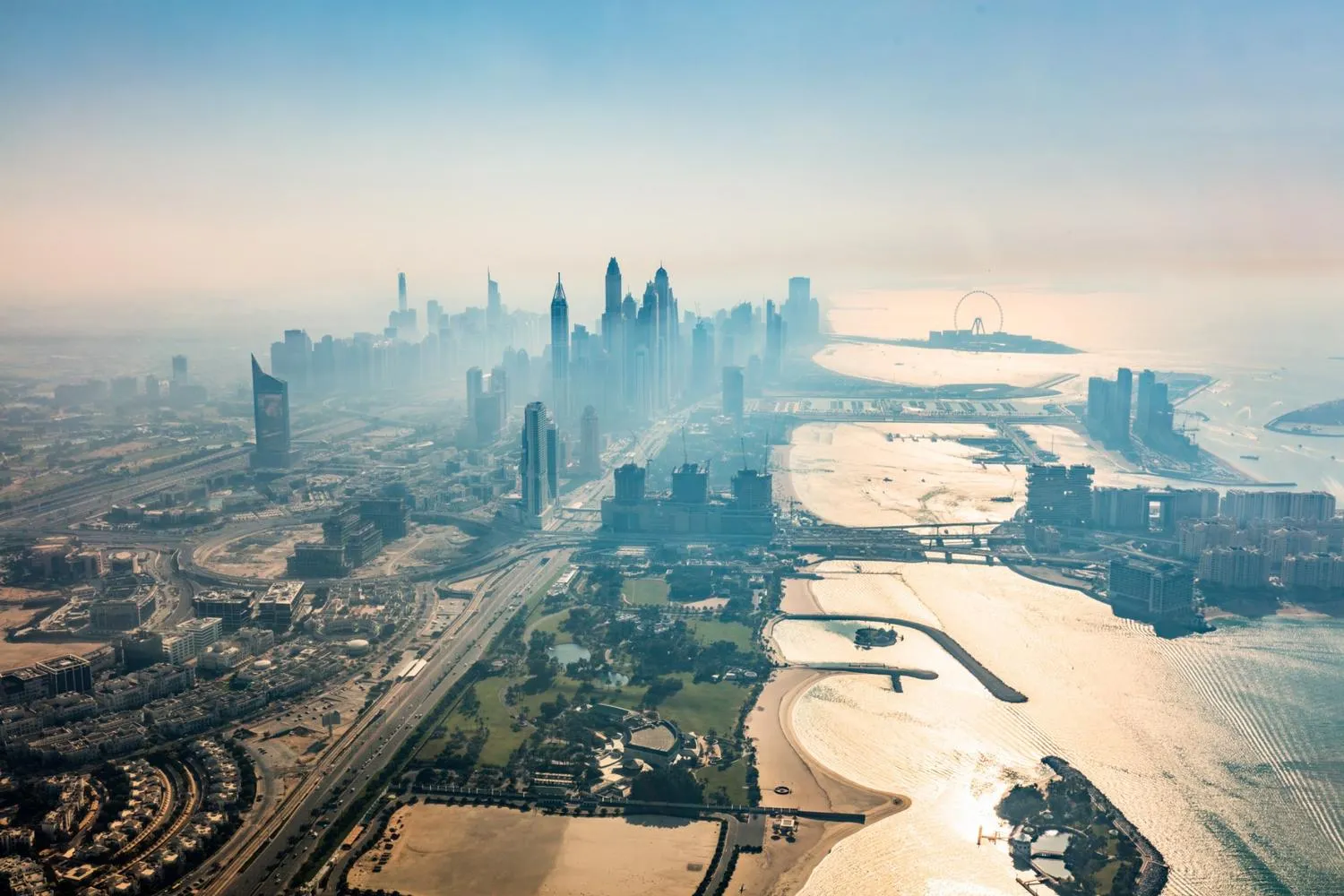
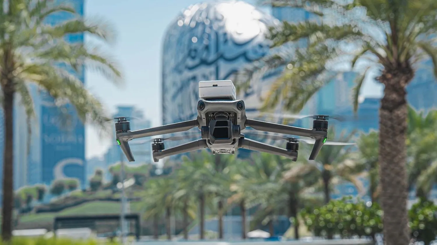
High-resolution 4K drones capture sweeping landscapes, crisp close-ups, and dynamic FPV shots, no helicopters, cranes, or large crews required. The result is cinematic visuals with minimal disruption and maximum flexibility.

Aerial view of Dubai showing skyscrapers, waterfront, bridges, and the Ferris wheel on the Palm Jumeirah island in the distance.
Rear view of a man and woman watching a drone with green lights flying over water toward a person in a pink shirt.
Full Coverage, From Script to Screen

From permits to final edits, everything is handled in-house. Our team takes care of storyboarding, scripting, aerial filming, and post-production, delivering a polished, ready-to-use video without multiple vendors.

Film Sensitive Areas Without Disturbance

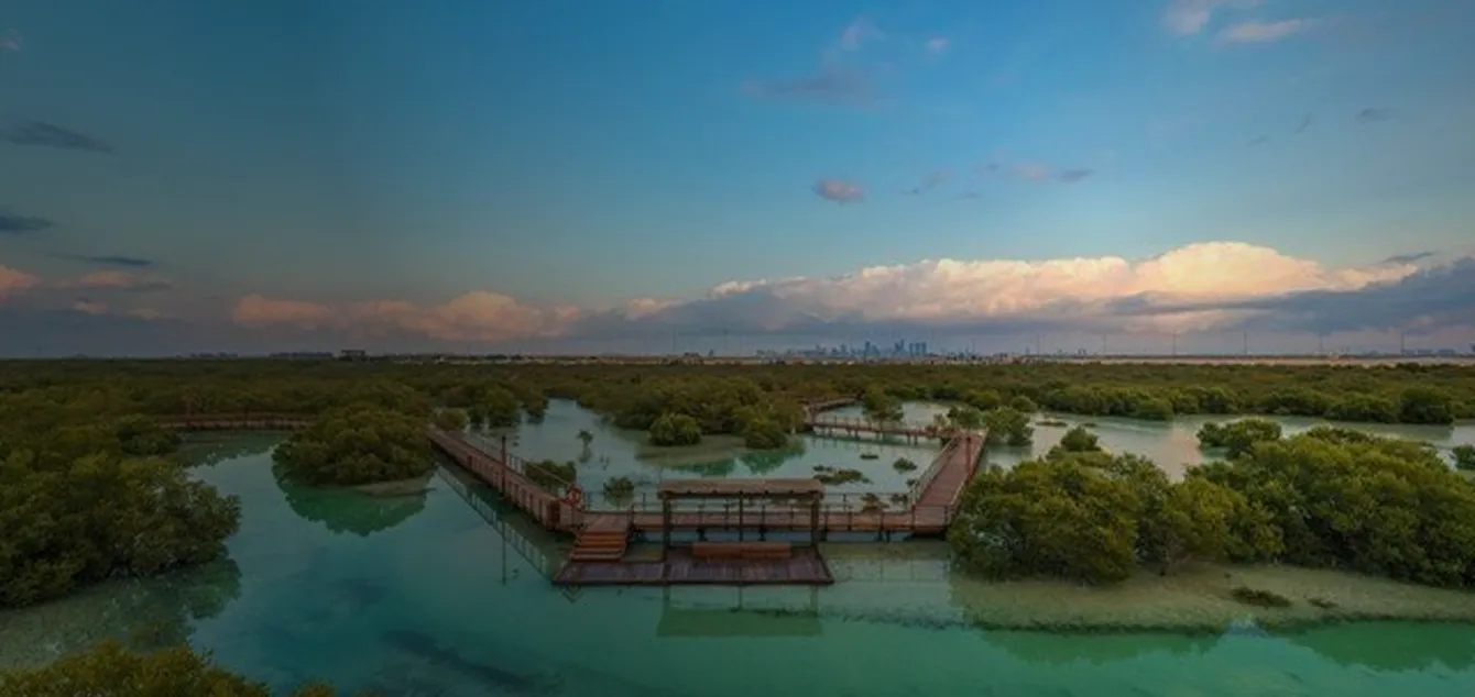
Drones make it easy to film natural environments, conservation zones, and delicate ecosystems without physical intrusion, delivering striking imagery while protecting habitats.

Top-down aerial view of sandy terrain with scattered green bushes and small vegetation.

Filming Capabilities That Deliver Clarity and Coverage

01

Drone Platforms
and Payloads

Front view of black drone pilot goggles with two antennas and red-blue lighting accents.

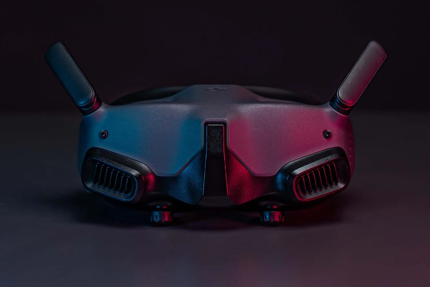
FPV drones and high-resolution 4K payloads used for smooth, stable, and dynamic footage.

02

Flight and
Coverage

A drone with folded arms flying in front of palm trees and modern buildings in a sunny urban setting.

Flexible  aerial filming across urban, industrial, and natural environments. Comprehensive views in a single flight path with fewer crew members needed.

03

Execution
and Permits

Drone pilot operating a drone in an urban area with palm trees and modern skyscrapers under a clear blue sky.

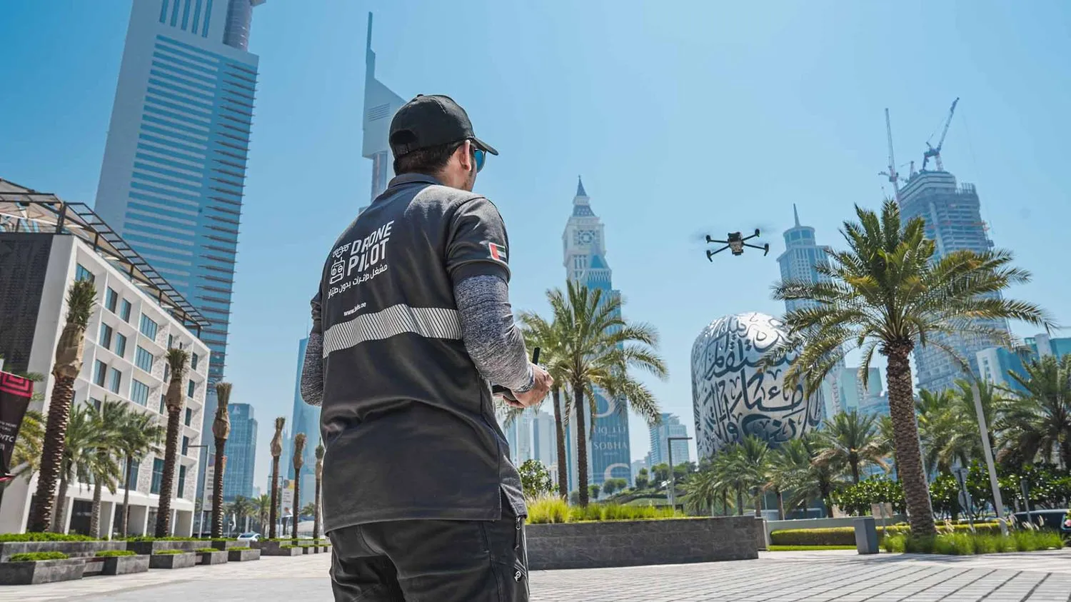
In-house permit management ensures smooth operations across regions. Experienced FPV pilots deliver precise flights and on-site coordination.

04

Cost and
Efficiency

Lower operational costs compared to helicopters or crane setups. Lean, expert crews provide quick turnarounds with minimal disruption.

When Months of Work Took Just 64 Days*

CLIENT

Ministry of Climate Change & Environment (MOCCAE) – UAE

THE CHALLENGE

Traditional methods made it impossible to map 1,100 km² of farmland within a usable timeframe. By the time data was collected, it would already be outdated.

FEDS SOLUTIONS

We deployed UAV land surveying drones to map the entire region in 64 days and used AI models to classify features such as livestock, tree clusters, and water bodies.

Wooden boardwalk and viewing platform winding through dense green mangroves over clear water under a blue sky with distant city skyline.
Results
Full-area coverage in just 64 days — versus 12+ months using ground teams
Reliable, up-to-date data enabled national-level sustainable agriculture planning
Validated outputs helped quantify resources across an entire ecological zone
Analysis of Plant Compounds showing structure and analytical data on a dark background.